0 · 50 m
SCALE 1:—
ELEVATION PROFILE
 SITEPLANHow it works →
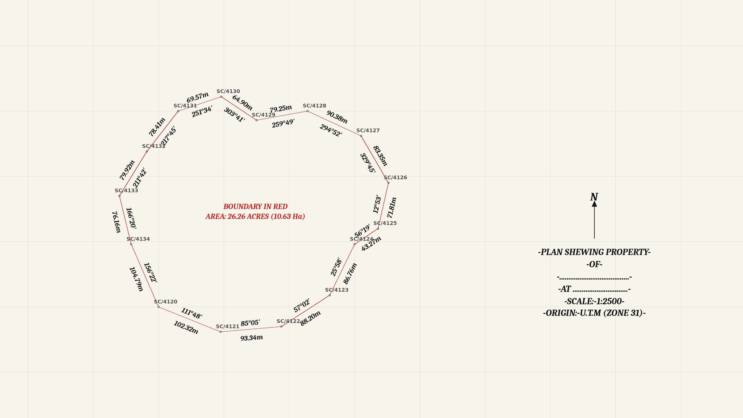
Type the bearings off your survey plan or trace the PDF. Siteplan draws the boundary, lays it on the real terrain, and gives you a drawing board to zone the land and place every building where the ground suits it.